Services included
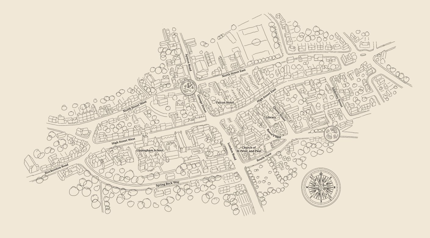
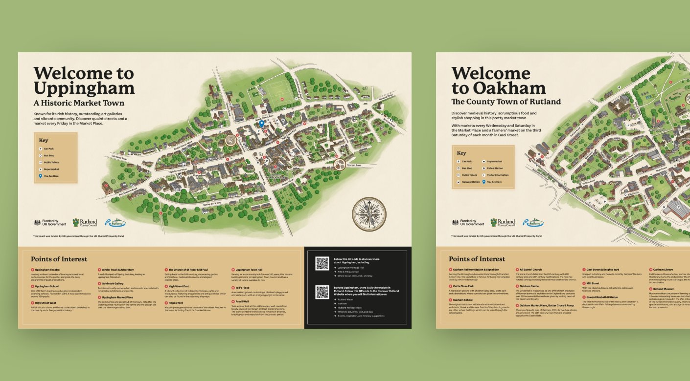
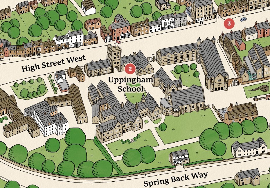
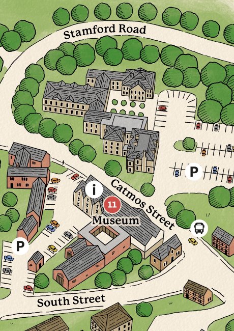
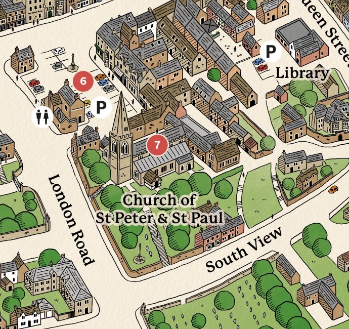
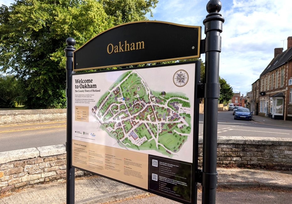
Working with the team at Discover Rutland, we created two wonderfully detailed illustrated maps showcasing the unique character of Oakham and Uppingham, two of the county's historic market towns.
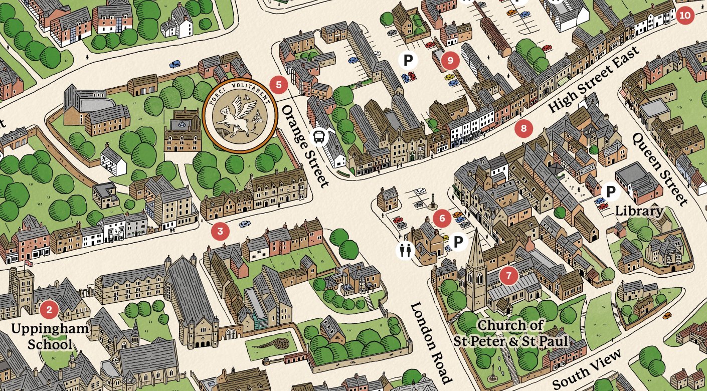
Designed primarily for visitor wayfinding, the maps combine practical information with characterful, hand-drawn illustrations that celebrate the towns' distinctive architecture, landmarks and green spaces.
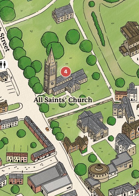
Illustrated map design
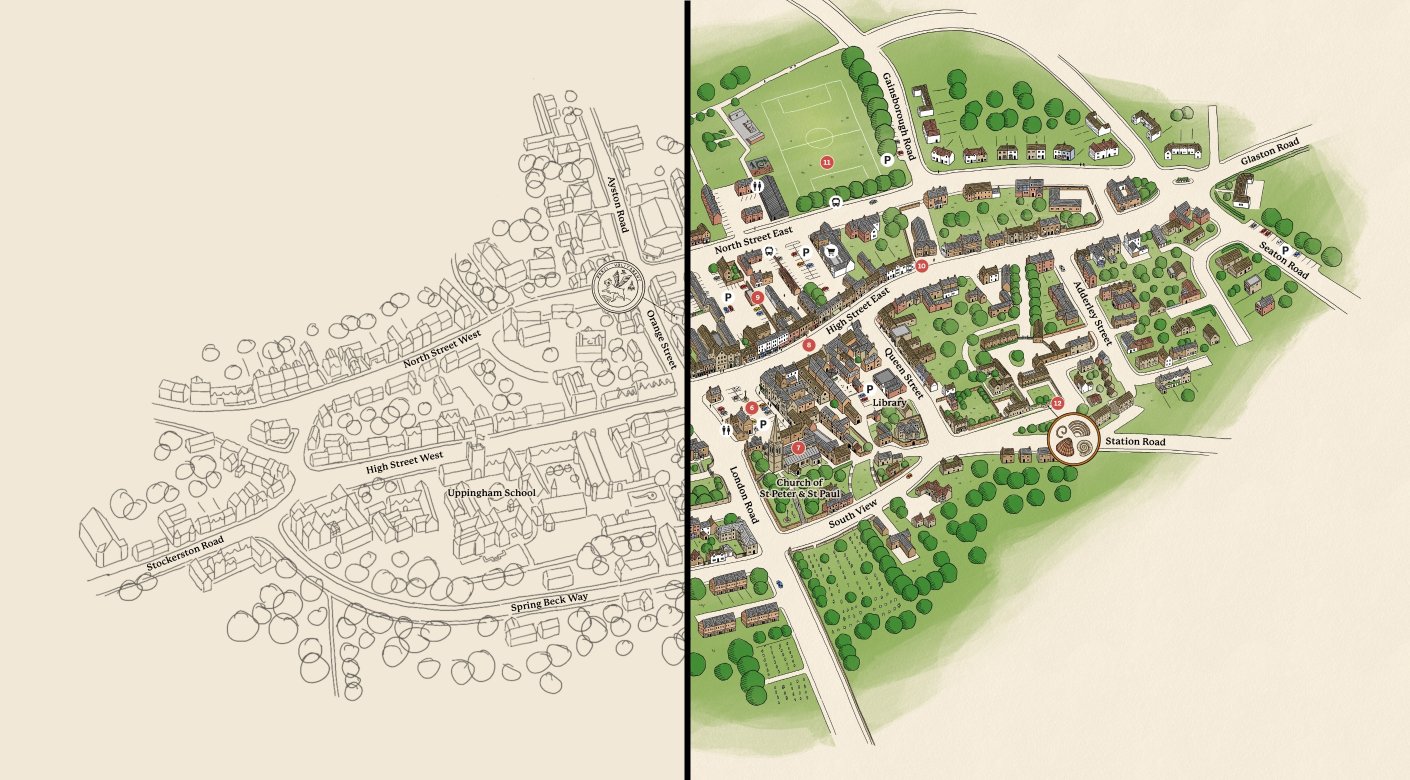
From initial sketches through to the finished artwork, we carefully illustrated hundreds of individual buildings, streets and points of interest, creating a charming bird's-eye view of each town. A warm, natural colour palette, playful details and traditional cartographic elements help give the maps a timeless quality, while making them engaging and easy to explore.
The finished illustrations were incorporated into large-format visitor information boards, complete with local highlights and useful amenities, helping visitors find their way around while encouraging them to discover more of what these lovely Rutland towns have to offer.